
Sea-level rise and Indian real-estate: what to add to property due diligence now

The short answer
Rising seas are already elevating coastal flood, saltwater-intrusion and infrastructure risks in Indian metros such as Mumbai and Kolkata. Due diligence must combine global SLR projections, national hazard maps, local subsidence data and project design life to quantify exposure and adaptation costs before purchase or lending.
| Global 2050 SLR (likely range) | 0.15–0.23 metres (IPCC AR6 projections) |
|---|---|
| People in low coastal zones | About 770 million live in coastal areas below 5 m elevation (UN reporting) |
| Indian hazard mapping | INCOIS / MoES have produced Coastal Vulnerability Index maps and extreme sea-level assessments for Indian coasts |
| Local subsidence evidence | InSAR and GPS studies document subsidence in Kolkata and parts of Mumbai, amplifying flood risk |
Why this matters for property buyers and lenders
Sea-level rise (SLR) is no longer a distant climate projection; it is a current, accelerating hazard that increases coastal flooding, saltwater intrusion and long-term loss of land and services relevant for property value and habitability. The UN’s new synthesis highlights immediate exposure in South Asian deltas and identifies Mumbai and Kolkata among the Indian cities at growing risk. india.un.org
What the science and Indian authorities say
Global mean sea level is projected to rise by roughly 0.15–0.23 m by 2050 under low‑to‑moderate scenarios, with acceleration thereafter — a number that matters because higher mean levels make storm surges and extreme floods more frequent. These projections come from the Intergovernmental Panel on Climate Change (IPCC) AR6 assessment. ipcc.ch
Featured in Buying Guides
 lodha-sadahalli
Bengaluru
From ₹3.10 Cr*
lodha-sadahalli
Bengaluru
From ₹3.10 Cr*
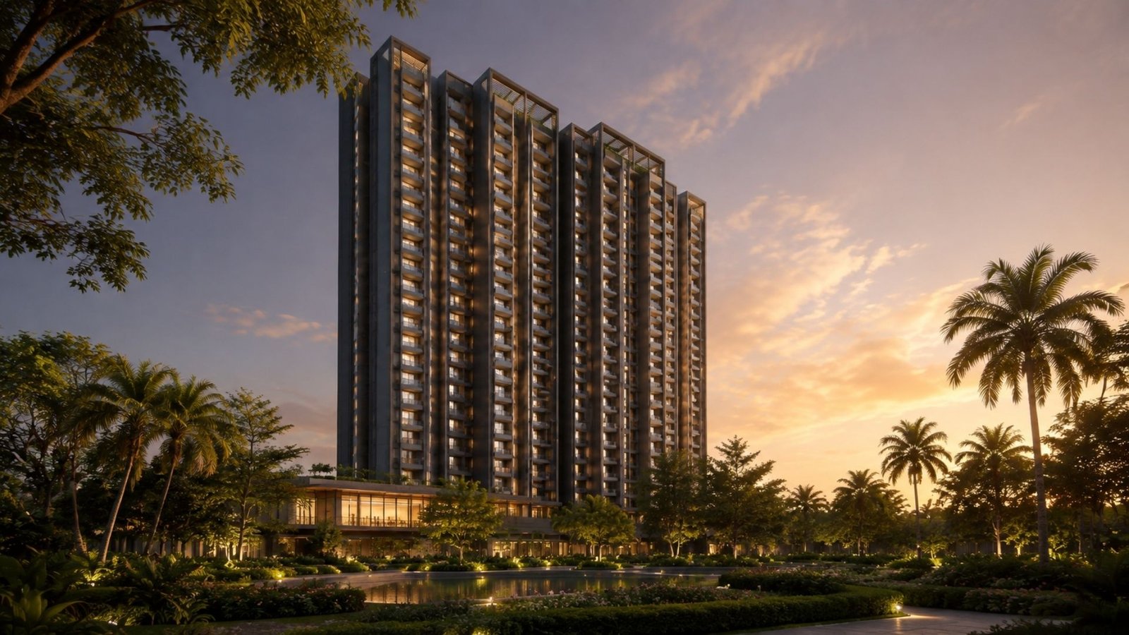 Assetz Codename Summit
Gummanahalli, Bagaluru, North Bengaluru
From ₹1.6 Cr*
Assetz Codename Summit
Gummanahalli, Bagaluru, North Bengaluru
From ₹1.6 Cr*
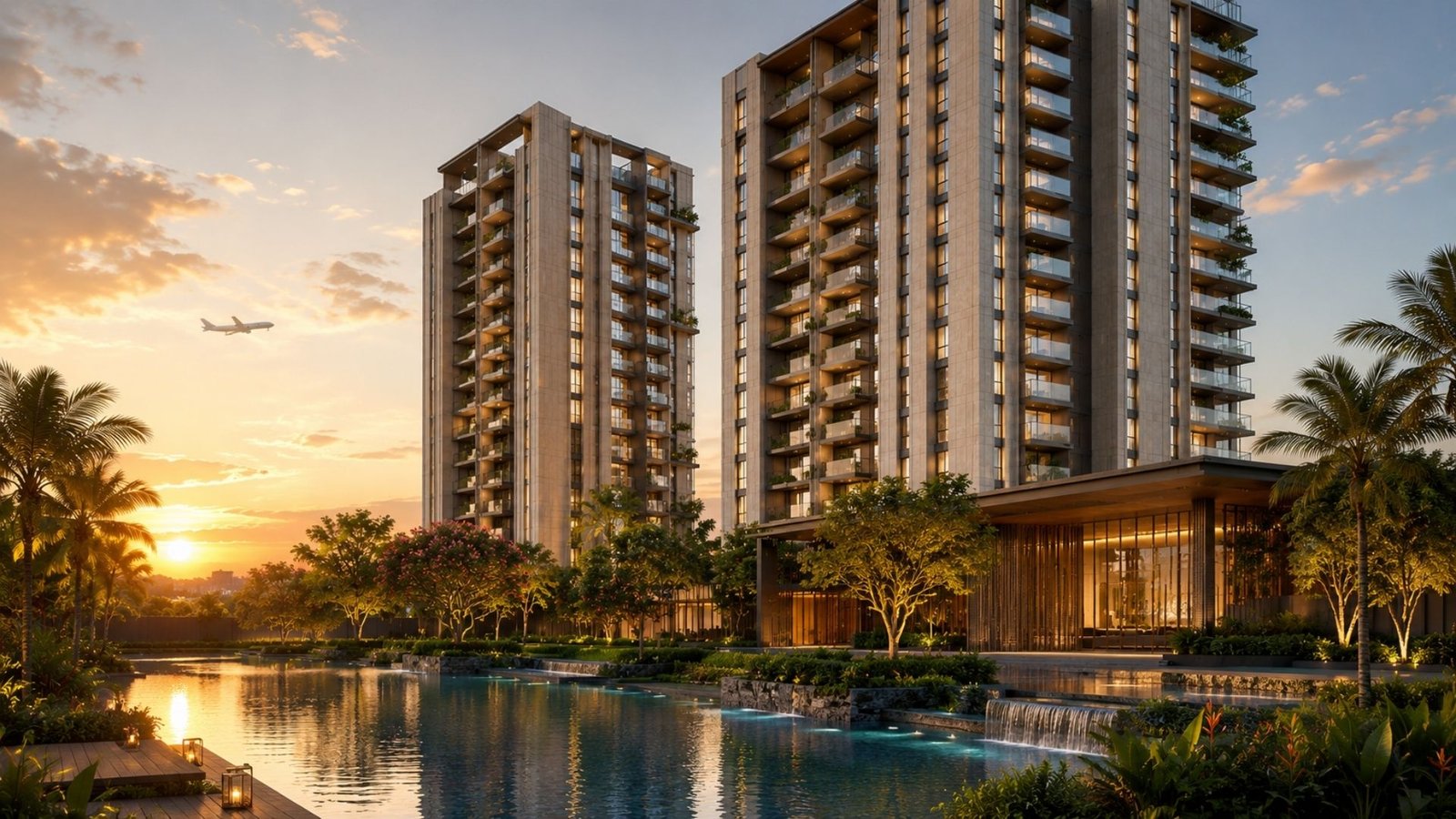 Mahindra Sadahalli
Bengaluru
From ₹1.4 Cr*
View all projects →
Mahindra Sadahalli
Bengaluru
From ₹1.4 Cr*
View all projects →Local amplifiers: subsidence, groundwater and shoreline change
Along India’s coasts, SLR combines with subsidence (from groundwater extraction, soft delta soils and urban loading) to increase relative sea-level change. Peer-reviewed and remote‑sensing studies document measurable subsidence in Kolkata and parts of Mumbai; national agencies (INCOIS / Ministry of Earth Sciences) have produced coastal vulnerability and extreme-sea-level maps for Indian coasts to support planning. These local factors can double or triple flood exposure compared with using global SLR alone. ideas.repec.org
Practical due-diligence checklist for Indian real-estate
- Confirm project elevation vs official hazard lines: check Survey of India / INCOIS hazard and Coastal Vulnerability Index maps for the exact parcel. moes.gov.in
- Ask for a 30–100-year design-life SLR scenario: use IPCC scenario ranges (2050, 2100) when modelling future inundation and insurance gaps. ipcc.ch
- Obtain local subsidence data (InSAR, GPS or municipal monitoring) and groundwater trends — where subsidence exists, treat exposure as relative SLR = global SLR + subsidence rate. ideas.repec.org
- Quantify services risk: saline intrusion into wells, electrical and sewage infrastructure elevations, and access routes. Include adaptation capex (coastal defences, raised foundations, drainage upgrades) in valuation adjustments.
- Check regulatory and insurance disclosures: planned coastal management, retreat policies, and insurance exclusions for climate hazards.
Valuation and transaction implications
Where exposure is material, buyers and lenders should capitalise adaptation or remediation costs, apply higher discount rates for uncertain loss, or seek contractual risk-sharing (price reductions, escrowed adaptation funds or insurance warranties). For low-lying delta parcels, planned retreat and legal issues (land title at inundation risk) must be considered early. india.un.org
Key House Research Desk: This note synthesises UN findings and peer-reviewed and government sources to show how sea-level rise, compounded by local subsidence, should be integrated into standard Indian real‑estate due diligence and valuation practice. india.un.org
Sources
- → UN: Rising sea levels threaten hundreds of millions, incl. India (3 Sep 2026)
- → IPCC AR6 WGI — Technical Summary / Chapter 9 (sea-level projections)
- → Ministry of Earth Sciences / INCOIS coastal vulnerability and extreme sea-level reports
- → Nature Sustainability: Building damage risk in sinking Indian megacities (analysis)
Find the right home in 60 seconds.
Seven quick questions. Zero brokerage. A RERA-registered advisor — not a call centre — calls you back within 30 minutes.
Get My Shortlist →Frequently asked
Should I walk away from buying coastal property if SLR appears on a map?
Not automatically. Use quantified scenarios: compare predicted inundation and adaptation costs against purchase price, and require mitigation commitments or price reductions if exposure is material.
Who provides authoritative SLR maps for India?
INCOIS and the Ministry of Earth Sciences publish coastal vulnerability and extreme-sea-level assessments; global scenarios are available from the IPCC.
How does land subsidence affect due diligence?
Subsidence increases relative sea-level change locally; include measured subsidence rates (InSAR/GPS) in flood modelling rather than relying on global SLR alone.
Can insurance cover future SLR-related losses?
Many insurers exclude gradual SLR and may limit payouts for repeated coastal flooding; check policy wordings and stress-test coverage for multi‑decade asset lives.